
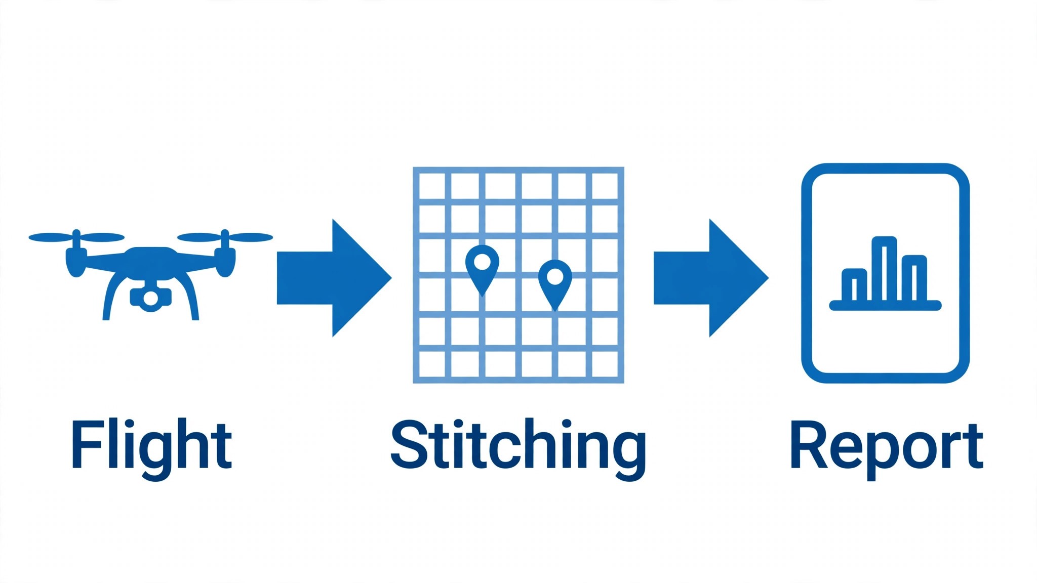
A drone pilot plans the flight, flies the mission, and then spends twice as long again on the data that comes back. The orthomosaic has to be stitched, the inspection photos sorted, the flight logs filed, and the client report written, and the next job is already on the calendar. The best ai tools for drone pilots take the slowest half of that day and shorten it, turning raw flight data into maps, measurements and reports while the pilot is still packing up the kit.
The trap is buying mapping software when the real problem is airspace paperwork, or buying a fleet tool when the real problem is inspection photos. A pilot who flies roofs needs different software from one who flies fields, and a team of one needs different software from a team of ten. This guide sorts the tools by the flying job they serve, so you buy the piece that matches the missions you actually fly.
This guide compares twelve tools on published starting prices, the drone job each one does best and the limit that only shows up after the trial ends. Each price in this guide is the published starting price from late 2026, or shown as pricing on request when the vendor lists no public rate. Start with the shortlist, then read the reviews that match the missions you fly most.
The Twelve, at a Glance
Use it to narrow the best ai tools for drone pilots to two or three candidates before you read the full reviews. Monthly list prices apply unless noted, and per-flight pricing usually beats a monthly plan for a pilot who flies in bursts.
| Job | Best tool | Why it wins |
|---|---|---|
| Mapping plus inspection in one platform | DroneDeploy | DroneDeploy is a drone mapping and inspection platform that turns flight photos into |
| Survey-grade photogrammetry | Pix4D | Pix4D is a photogrammetry suite that turns drone photos into accurate maps, point clouds and |
| DJI fleet operations | DJI FlightHub 2 | DJI FlightHub 2 is DJI’s cloud platform for managing a fleet of drones, planning missions, |
| Autonomous inspection flights | Skydio | Skydio builds autonomous drones that fly inspection missions on their own, avoiding obstacles |
| Airspace authorization and compliance | AirMap | AirMap is an airspace management platform that shows a pilot where they can fly, what |
| Airspace checks plus fleet tools | Aloft | Aloft, formerly Kittyhawk, is a drone operations platform that combines airspace |
| Automated flight plans for solo pilots | Dronelink | Dronelink is a flight planning app that automates drone missions, from mapping grids to |
| Waypoint missions on a budget | Litchi | Litchi is a flight app for DJI drones that adds waypoint missions, orbit flights and panorama |
| Inspection missions with AI defect detection | Hammer Missions | Hammer Missions is an inspection platform that plans drone flights around buildings and |
| Flight logs and compliance records | DroneLogbook | DroneLogbook is a flight logging and compliance platform that records every flight, every |
| Enterprise inspection at scale | Measure Ground Control | Measure Ground Control is an enterprise drone platform that runs inspection programs across |
| Fleet management for large operators | Skyward | Skyward, from Verizon, is a drone fleet management platform that handles airspace |
How We Chose the Best AI Tools for Drone Pilots
A tool earned a place here only when it does a real drone job well in 2026, not when it added an AI label to an old flight app. The best ai tools for drone pilots were judged on five things that decide whether a pilot keeps paying after the first season.
Output quality came first, because a map with a bad stitch or a missed defect is worse than no map at all. Next came the flight planning, since a tool that cannot plan a safe, legal mission forces a second app. Pricing and how it scales with flights or pilots came third, then the reporting, because a client needs a report they can act on the same day. The catch, from quote-only pricing to hardware limits, came fifth.
| Check before you buy | What to ask | Why it matters |
|---|---|---|
| Published price | Is the rate on the pricing page | A hidden price is a hidden bill |
| Aircraft support | Does it work with the drone you fly | A tool that cannot fly your drone is useless |
| Airspace checks | Does it handle authorization for you | A missed authorization grounds the flight |
| Output accuracy | Are the maps survey-grade or indicative | A wrong measurement costs a client |
| Trial access | Can you test it on a real mission | A demo is not a trial |
| Contract terms | Monthly or annual, and what year two costs | Annual billing locks the price but not the need |
The Twelve Tools, Reviewed
1. DroneDeploy
Starting price From 329 dollars a month. Best for Mapping plus inspection in one platform. Watch out The high starting price for a solo pilot.
DroneDeploy is a drone mapping and inspection platform that turns flight photos into orthomosaics, 3D models and measurements, with AI that detects defects, counts objects and tracks change over time. A pilot can fly a roof or a field in the morning and hand the client a report the same afternoon.
At 329 dollars a month, DroneDeploy is priced for mapping plus inspection in one platform. The catch is the high starting price for a solo pilot, so read the plan limits before you pay for a year.
That is the test to apply to the best ai tools for drone pilots as a group: the tool that saves an hour a week on real work pays for itself, and the tool that needs constant correction does not, however cheap the headline looks.
2. Pix4D
Starting price Pricing on request. Best for Survey-grade photogrammetry. Watch out The learning curve, since survey work needs care.
Pix4D is a photogrammetry suite that turns drone photos into accurate maps, point clouds and 3D models, trusted by surveyors for work that has to be measured, not just seen. The AI features automate the processing, detect objects in the imagery and export the results in the formats a surveyor’s software expects.
With pricing on request, Pix4D is aimed at survey-grade photogrammetry, and the quote usually reflects team size and the integrations you need. Keep an eye on the learning curve, since survey work needs care, since that is the limit buyers hit first.
3. DJI FlightHub 2
Starting price Free tier available, then paid plans on request. Best for DJI fleet operations. Watch out The DJI-only focus, since it does not cover other aircraft.
DJI FlightHub 2 is DJI’s cloud platform for managing a fleet of drones, planning missions, watching live feeds and keeping the flight logs in one place. The AI features help with route planning, detect obstacles in the live view and flag the flights that need a review, which is the work a fleet manager does every day.
DJI FlightHub 2 does not publish a price, which suits DJI fleet operations but means the buying process takes longer. The thing to check first is the DJI-only focus, since it does not cover other aircraft, because that shapes the real cost once the team grows.
4. Skydio
Starting price Pricing on request. Best for Autonomous inspection flights. Watch out The hardware cost, since the autonomy lives in Skydio aircraft.
Skydio builds autonomous drones that fly inspection missions on their own, avoiding obstacles and capturing the same viewpoints every time. The AI flight engine plans the route, the onboard processing flags the defects, and the pilot’s job shifts from flying to reviewing the results.
For autonomous inspection flights, Skydio sells on a quote, and the higher tiers add the controls a bigger team needs. The weak spot is the hardware cost, since the autonomy lives in Skydio aircraft, so confirm it on a trial before signing anything annual.
5. AirMap
Starting price Pricing on request. Best for Airspace authorization and compliance. Watch out The coverage, which varies by country.
AirMap is an airspace management platform that shows a pilot where they can fly, what authorization they need and how to get it. The AI features check the flight plan against the rules, submit the authorization request and keep the compliance record, which is the paperwork that grounds more flights than weather does.
Starting with a quote rather than a list price, AirMap fits airspace authorization and compliance without a self-serve checkout. Watch for the coverage, which varies by country, which is where the bill or the workflow usually surprises buyers.
6. Aloft
Starting price Free tier available, then paid plans from 25 dollars a month. Best for Airspace checks plus fleet tools. Watch out The paid features, which sit behind the higher tiers.
Aloft, formerly Kittyhawk, is a drone operations platform that combines airspace authorization, flight planning and fleet management in one app. The AI features check the mission against the rules, log the flight automatically and keep the pilot’s records ready for an audit, which is the part of flying nobody enjoys.
Aloft opens at 25 dollars a month and is aimed squarely at airspace checks plus fleet tools. The trade-off is the paid features, which sit behind the higher tiers, so check the tier that removes it and price that tier, not the headline.
7. Dronelink
Starting price A free tier is available, then paid plans from 20 dollars a month. Best for Automated flight plans for solo pilots. Watch out The aircraft support, which does not cover every model.
Dronelink is a flight planning app that automates drone missions, from mapping grids to cinematic orbits, with a plan builder that a pilot can set up in minutes. The AI features suggest the flight pattern for the job, handle the camera settings and keep the mission repeatable, so the same site can be flown the same way every month.
At 20 dollars a month, Dronelink is priced for automated flight plans for solo pilots. The catch is the aircraft support, which does not cover every model, so read the plan limits before you pay for a year.
8. Litchi
Starting price 24.99 dollars one time. Best for Waypoint missions on a budget. Watch out The DJI SDK limits, which cap what the app can do.
Litchi is a flight app for DJI drones that adds waypoint missions, orbit flights and panorama modes the stock app does not offer, for a one-time payment. A pilot can plan a mission on a computer, sync it to the phone and fly it hands-off, which is the cheapest way to automate a repeat job.
The starting price of 24.99 dollars one time puts Litchi in reach for waypoint missions on a budget, and the paid tiers mostly add volume, seats or deeper integrations. Keep an eye on the DJI SDK limits, which cap what the app can do, since that is the limit buyers hit first.
9. Hammer Missions
Starting price Pricing on request. Best for Inspection missions with AI defect detection. Watch out The quote-only pricing for a small operator.
Hammer Missions is an inspection platform that plans drone flights around buildings and infrastructure, then uses AI to detect cracks, rust and damage in the photos. The reports mark each defect on the 3D model, so the client sees exactly where the problem is instead of scrolling through a hundred photos.
Hammer Missions does not publish a price, which suits inspection missions with AI defect detection but means the buying process takes longer. The thing to check first is the quote-only pricing for a small operator, because that shapes the real cost once the team grows.
10. DroneLogbook
Starting price Pricing on request. Best for Flight logs and compliance records. Watch out The pricing, which is quoted per fleet.
DroneLogbook is a flight logging and compliance platform that records every flight, every battery cycle and every maintenance event in one place. The AI features flag the logs that look wrong, remind the pilot about expiring documents and produce the audit report, which is the work that keeps a commercial operator legal.
For flight logs and compliance records, DroneLogbook sells on a quote, and the higher tiers add the controls a bigger team needs. The weak spot is the pricing, which is quoted per fleet, so confirm it on a trial before signing anything annual.
11. Measure Ground Control
Starting price Pricing on request. Best for Enterprise inspection at scale. Watch out The enterprise contracts, which are built for large teams.
Measure Ground Control is an enterprise drone platform that runs inspection programs across many sites, with flight planning, data processing and reporting in one system. The AI features detect defects, measure stockpiles and track change over time, which is the work a large operator cannot do by hand.
Starting with a quote rather than a list price, Measure Ground Control fits enterprise inspection at scale without a self-serve checkout. Watch for the enterprise contracts, which are built for large teams, which is where the bill or the workflow usually surprises buyers.
12. Skyward
Starting price Pricing on request. Best for Fleet management for large operators. Watch out The Verizon tie-in, which shapes the pricing.
Skyward, from Verizon, is a drone fleet management platform that handles airspace authorization, flight planning, pilot records and data in one place. The AI features check missions against the rules, keep the fleet’s compliance current and route the data to the right team, which is the work a large operator needs centralised.
Skyward is quote-only and is aimed squarely at fleet management for large operators. The trade-off is the Verizon tie-in, which shapes the pricing, so ask what the quote covers and price that package, not the demo.
Price Table, Decoded
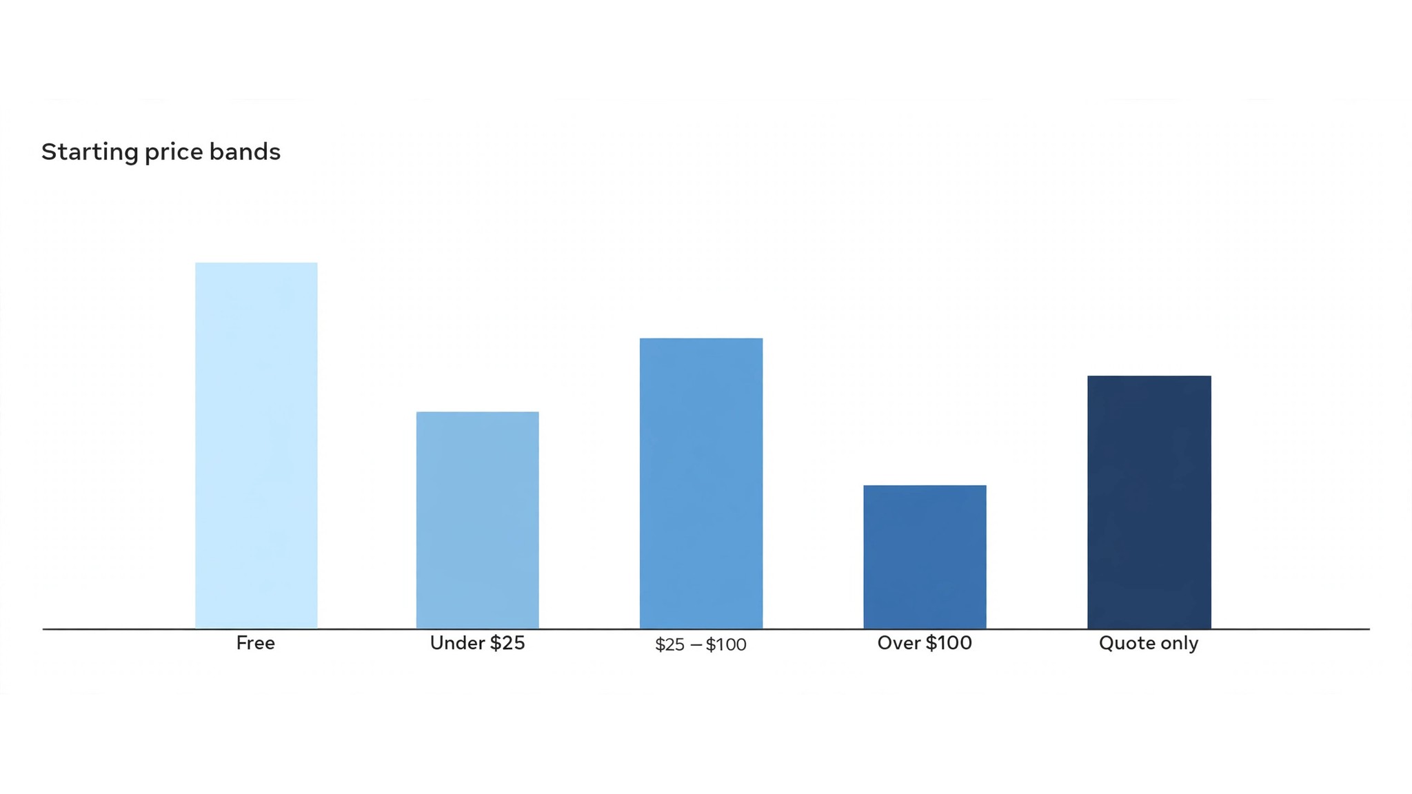
The table below puts the best ai tools for drone pilots side by side on price, best job and free plan, so you can compare the published prices against the quote-only tools at a glance.
The fastest way through the table is by mission type. A pilot mapping fields should look at the photogrammetry tools first, while one inspecting roofs should look at the inspection platforms, because the cheapest tool that misses a defect costs more than a pricier one that catches it.
| Tool | Starting price | Best for | Free plan |
|---|---|---|---|
| DroneDeploy | From 329 dollars a month | Mapping plus inspection in one platform | Trial |
| Pix4D | Pricing on request | Survey-grade photogrammetry | Trial |
| DJI FlightHub 2 | Free tier available, then paid plans on request | DJI fleet operations | Yes |
| Skydio | Pricing on request | Autonomous inspection flights | No |
| AirMap | Pricing on request | Airspace authorization and compliance | No |
| Aloft | Free tier available, then paid plans from 25 dollars a month | Airspace checks plus fleet tools | Yes |
| Dronelink | Free tier available, then paid plans from 20 dollars a month | Automated flight plans for solo pilots | Yes |
| Litchi | 24.99 dollars one time | Waypoint missions on a budget | No |
| Hammer Missions | Pricing on request | Inspection missions with AI defect detection | Trial |
| DroneLogbook | Pricing on request | Flight logs and compliance records | Trial |
| Measure Ground Control | Pricing on request | Enterprise inspection at scale | No |
| Skyward | Pricing on request | Fleet management for large operators | No |
Buying for the Flights You Actually Fly
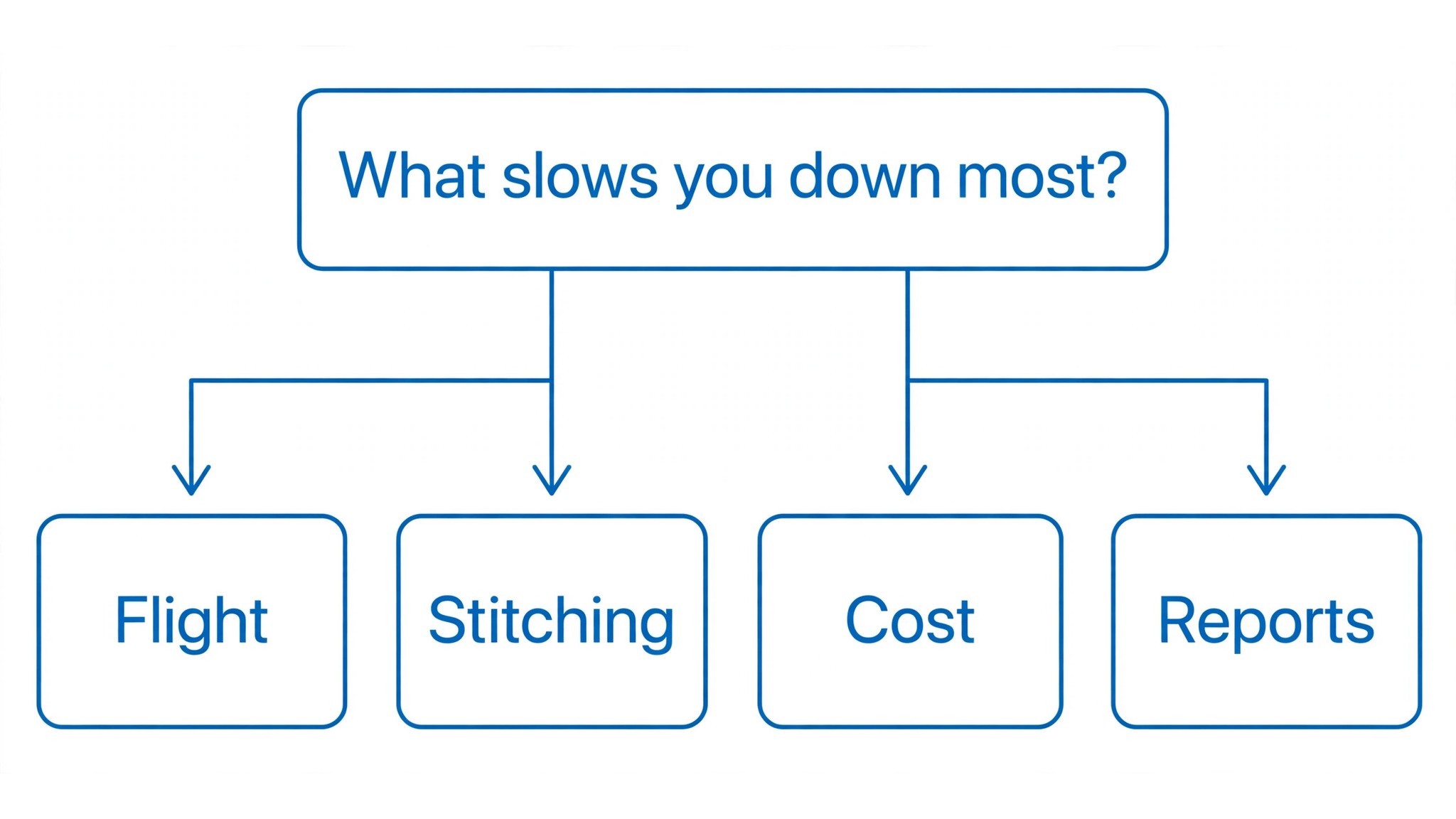
Start from the slowest part of your flying week, not from the vendor homepage. Pilots buried in processing should buy the mapping tool that clears that pile first, and pilots losing hours to airspace checks should buy the compliance tool before anything else. Buy first the tool that clears the slowest job in the flying week, since that one pays for itself before the rest.
Cost the entire stack, not just the headline figure. A mapping tool plus a fleet tool plus a reporting tool can cost three subscriptions, so check whether one platform already covers two of your jobs. Ask for per-flight and per-pilot charges in writing before signing, since those lines surprise small operators, and annual billing usually cuts about twenty percent off the monthly rate. The best ai tools for drone pilots on this list were priced at published starting rates, so the stack maths in the table below uses real numbers.
| Stack | Monthly cost | What it covers |
|---|---|---|
| DroneDeploy alone | Lowest starting price | One tool for the main job |
| DroneDeploy plus Pix4D | Mid-range | Core tool plus a second specialist |
| Pix4D plus DJI FlightHub 2 | Mid-range | Specialist pair for a busy week |
| DroneDeploy plus DJI FlightHub 2 | Check the pricing page | Core tool plus a workflow specialist |
Best Pick by Job
Pick from the table below by the drone job you do most each week. The best ai tools for drone pilots are not ranked by features alone; they are ranked by which job each one actually finishes, so the pick that matches your week is the pick that will still be in your stack a year from now.
| Your job | Best pick | Why it wins |
|---|---|---|
| Mapping plus inspection in one platform | DroneDeploy | DroneDeploy is a drone mapping and inspection platform that turns flight photos into |
| Survey-grade photogrammetry | Pix4D | Pix4D is a photogrammetry suite that turns drone photos into accurate maps, point clouds and |
| DJI fleet operations | DJI FlightHub 2 | DJI FlightHub 2 is DJI’s cloud platform for managing a fleet of drones, planning missions, |
| Autonomous inspection flights | Skydio | Skydio builds autonomous drones that fly inspection missions on their own, avoiding obstacles |
| Airspace authorization and compliance | AirMap | AirMap is an airspace management platform that shows a pilot where they can fly, what |
| Airspace checks plus fleet tools | Aloft | Aloft, formerly Kittyhawk, is a drone operations platform that combines airspace |
| Automated flight plans for solo pilots | Dronelink | Dronelink is a flight planning app that automates drone missions, from mapping grids to |
| Waypoint missions on a budget | Litchi | Litchi is a flight app for DJI drones that adds waypoint missions, orbit flights and panorama |
| Inspection missions with AI defect detection | Hammer Missions | Hammer Missions is an inspection platform that plans drone flights around buildings and |
| Flight logs and compliance records | DroneLogbook | DroneLogbook is a flight logging and compliance platform that records every flight, every |
| Enterprise inspection at scale | Measure Ground Control | Measure Ground Control is an enterprise drone platform that runs inspection programs across |
| Fleet management for large operators | Skyward | Skyward, from Verizon, is a drone fleet management platform that handles airspace |
Trial It on a Real Mission
A trial tells a drone team more in five working days than a month of reading reviews, but only when the trial runs on real work. Pick the two tools that look closest after the shortlist, run them side by side on the same mission, and score them on maps produced, defects found and how the report reads to a client. Never trial on a demo site, because a demo hides the rough edges real flying exposes. The best ai tools for drone pilots are judged on the same five days, so the comparison stays fair.
| Day | What to test | What good looks like |
|---|---|---|
| Day 1 | Setup and first real flight mission | Working in under an hour, no IT ticket |
| Day 2 | The hardest flight mission you do | Output needs light edits, not a rewrite |
| Day 3 | Integration with your core system | Data flows without double entry |
| Day 4 | A colleague tries it cold | They finish a job without asking for help |
| Day 5 | Count the time and the cost | Hours saved beat the monthly price |
Note the trial down as you go, one line a day: the job, the minutes, the fixes, and whether the result could have gone out as it was. After five days that notebook holds the whole decision. The tool that comes out best on your own numbers wins, even when it was not the one you expected to like.
Mistakes Drone Teams Make
Mistake one is taking the cheapest plan when the feature the crew needs sits two tiers above it. Check each tier on the pricing page and pay for the tier that handles the daily flying job, not the cheapest-looking one. Mistake two is rolling out to the whole fleet before one pilot has tried the tool for a week, since a favourite of one and a burden to five is a cost, not a system.
The third mistake is skipping the airspace check. Ask for the authorization workflow, read the compliance rules and check the flight-log format before the first real mission goes through the tool, because fixing compliance after the fact costs far more than checking it first. The fourth mistake is judging the tool on its best day, so trial it on the hardest mission and let the hard mission decide.
Weather is the variable nobody budgets for. A mapping tool that processes fast is useless if the flight cannot happen, so the planning tool that checks wind, light and airspace together saves more days than any processing feature. Test the planning on a real site, in real weather, and see whether it tells you not to fly before you drive there.
Client reports are the product, not the map. A client who gets a clear annotated report the same day pays faster, and one who gets a raw file they cannot open does not. Check the report output on the trial, send one to a friendly client, and ask whether they understood it without a phone call, because that answer decides the renewal.
Hardware lock-in is the quiet cost. A tool that only works with one drone brand is fine until that brand changes its software, and then the whole stack breaks. Check which aircraft the tool supports, test it with the drone you actually fly, and keep a second option in mind before the fleet grows around one vendor.
Drone Pilot Questions, Answered
Which tool gives a drone pilot the cheapest good start?
Litchi is the cheapest credible start on this list at 24.99 dollars one time, with Dronelink close behind on a free tier. Start with the job you do most each week, trial the tool on a real mission, and add a specialist only when the general tool cannot do a job you are paid to do. That is the cheapest route to a drone stack, with no payment for features never used.
Can a team keep AI defect detection from missing damage?
It will miss when a team trusts the detection score unchanged. AI tools draft a usable first pass, but the inspection, the judgement and the sign-off still come from the pilot doing the work. Use the AI to sort the photos, then review the ones that matter, check the measurements and the report, so the result sounds like your team and not the tool.
For a solo pilot, which drone tool wins?
Dronelink is the pick for a solo pilot, with a free tier and paid plans from 20 dollars a month, while DroneDeploy at 329 dollars a month is the strongest all-round option as the missions grow. Start with the tool that fixes the slowest weekly flying job, and add another only once a specific limit starts costing flight time.
How much will a small operator spend on drone tools in year one?
Plan on 25 to 100 dollars a month in year one for a general tool such as Dronelink, rising to 300 to 500 dollars a month with a specialist such as DroneDeploy added. Multiply the headline price by pilots when you pay per pilot, since those charges surprise buyers. Price the whole stack and trial each tool on real missions before signing an annual contract.
Do these drone tools offer a trial before payment?
Most tools on this list offer a free plan or a free trial, and DroneDeploy, Dronelink and DJI FlightHub 2 all let pilots test on real missions before paying. Use the trial on the mission itself your team flies most, not on a demo, and count the maps produced and the defects each output needs. A trial that runs a full week of real missions tells you more than a sales call.
The Call
If you buy one tool this quarter, pick Dronelink for a solo pilot or DroneDeploy when mapping and inspection are the whole business. Dronelink is the easiest place to start with a free tier, and DroneDeploy is the strongest all-round platform at 329 dollars a month. The best ai tools for drone pilots earn their keep by giving you back the hours between landing and the client report, and both of these do that from the first mission.
Whatever you pick, trial it on a real mission, count the maps it produces and the defects it finds, and keep a human eye on every AI report before it reaches a client. Every tool here can serve a working drone operation. The difference is whether the platform matches the missions you actually fly, and whether you measure the return in hours saved and reports delivered rather than in features used.